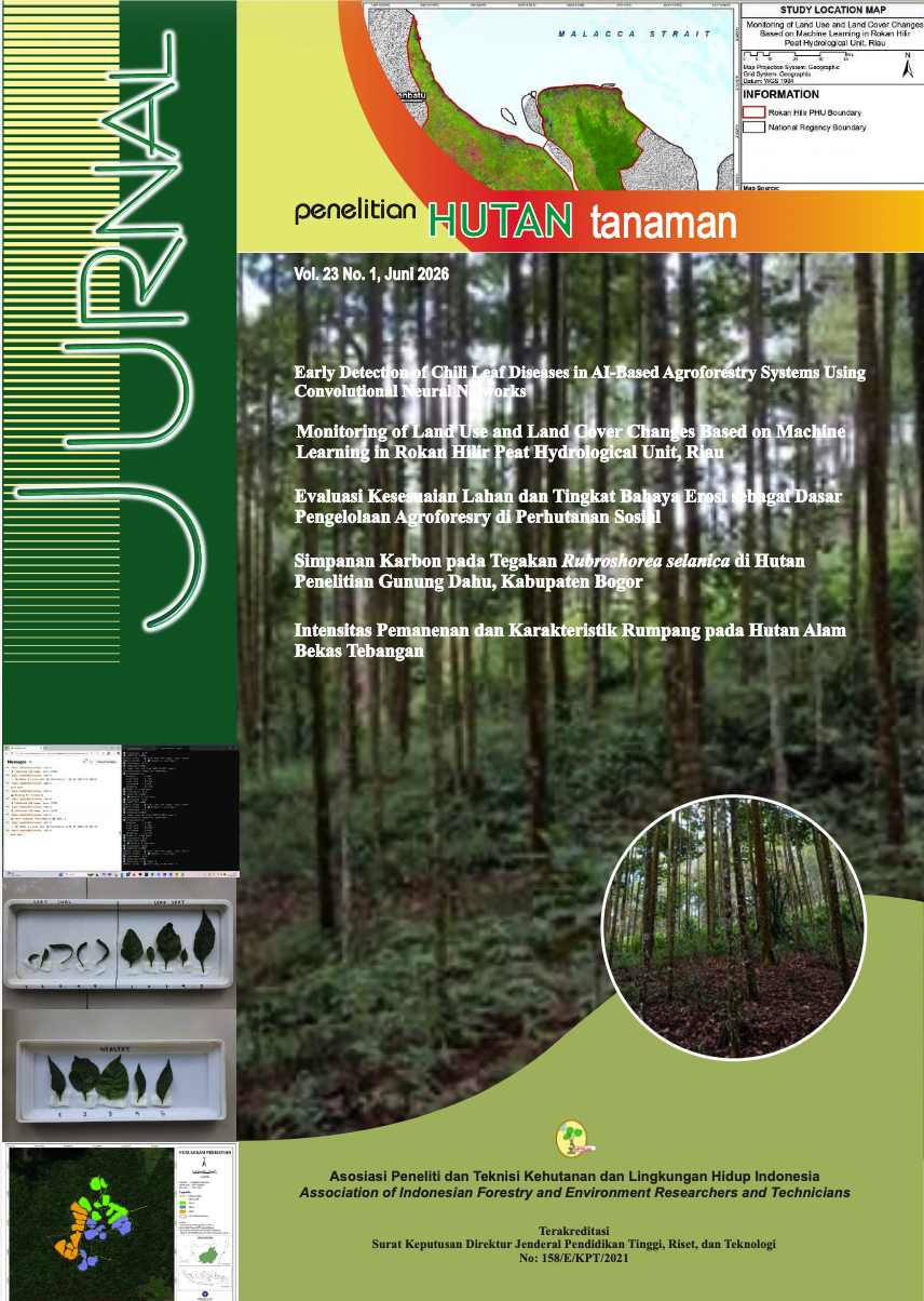
Monitoring of Land Use and Land Cover Changes Based on Machine Learning in Rokan Hilir Peat Hydrological Unit, Riau
Monitoring Perubahan Tutupan dan Penggunaan Lahan Berbasis Machine Learning di Kesatuan Hidrologis Gambut Rokan Hilir, Riau
DOI:
https://doi.org/10.59465/jpht.v23i1.991Kata Kunci:
Degradation, land use-land cover, peatland, random forestAbstrak
Rokan Hilir Regency is one of the regencies in Riau that has experienced a high rate of peatland conversion. This study aims to identify the land cover and land use types that have undergone the most significant changes and to estimate the area of land cover and land use with the greatest changes in the Rokan Hilir Peat Hydrological Unit (PHU) from 2005 to 2023. A total of 12 algorithms index were used in the analysis. Land cover and land use were classified into 6 categories e.g water bodies, built-up land, bare land, oil palm plantations, natural forests, and forest plantations. The machine learning method used was Random Forest (RF). The results of the study show that between 2005 and 2023, the land cover types that experienced the most area decrease were natural forests (119,186.3 ha) followed with forest plantations (72,135.6 ha). The land use types that showed the most area increase were oil palm plantations (146,384.7 ha) and built-up land (22,101.2 ha).
Referensi
Asy’Ari, R., A. Ranti, A.D. Rahmawati, M. Zulfajrin, L.L. Nurazizah, M.C.A. Putra, Z.N. Khairunnisa, F.A. Prameswari, R. Pramulya, dan N.P. Zamani, et al. (2023). High heterogeneity LULC classification in Ujung Kulon National Park, Indonesia: A study testing 11 indices, random forest, Sentinel-2 MSI, and GEE-based cloud computing. Celebes Agricultural, 3(2), 82–99.
Awal, E.E., I.S. Sitanggang, and L. Syaufina. (2023). Model prediksi perubahan tutupan lahan pada area kebakaran lahan gambut menggunakan model cellular automata Markov. Jurnal Informatika dan Teknologi Informasi, 1(2), 142–153.
Breiman, L. (2001). Random forest. Machine Learning, 45, 5–32.
Cihlar, J., dan L.J.M. Jansen. (2001). From land cover to land use: A methodology for efficient land use mapping over large areas. The Professional Geographer, 53(2), 275–289.
Feng, S., W. Li, J. Xu, T. Liang, X. Ma, W. Wang, and H. Yu. (2022). Land use/land cover mapping based on GEE for the monitoring of changes in ecosystem types in the Upper Yellow River Basin over the Tibetan Plateau. Remote Sensing, 14, 5361, 1–25.
Fesyuk, V.O., I.A. Moroz, L.T. Chyzhevska, Z.K. Karpiuk, and S.V. Polianskyi. (2020). Burned peatlands within the Volyn region: State, dynamics, threats, ways of further use. Journal of Geology, Geography and Geoecology, 29(3), 483–494.
Firmansyah, A., Hamzah, and E. Achmad. (2022). Pemodelan penginderaan jauh untuk estimasi simpanan karbon di Blok 1 PT Alam Bukit Tigapuluh. Journal of Science and Applicative Technology, 6(2), 98–107.
Ghimire, B., J. Rogan, dan J. Miller. (2010). Contextual land-cover classification: Incorporating spatial dependence in land-cover classification models using random forests and the Getis statistic. Remote Sensing Letters, 1(1), 45–54.
Gitelson, A.A., Y.J. Kaufman, dan M.N. Merzlyak. (1996). Use of a green channel in remote sensing of global vegetation from EOS-MODIS. Remote Sensing of Environment, 58(3), 289–298.
Harnanda, I.T. (2021). Peran badan penanggulangan bencana daerah dalam pengendalian kebakaran hutan di Provinsi Riau (studi Kabupaten Rokan Hilir) [Tesis]. Riau: Universitas Islam Riau.
Harrison, M.E., J.B. Ottay, L.J. D’Arcy, S.M. Cheyne, Anggodo, C. Belcher, L. Cole, A. Dohong, Y. Ermiasi, T. Feldpausch, et al. (2020). Tropical forest and peatland conservation in Indonesia: Challenges and directions. People and Nature, 2, 4–28.
Harun, M.K., S. Anwar, E.I.K. Putri, and H.S. Arifin. (2020). Sifat kimia dan tinggi muka air tanah gambut pada tiga tipe penggunaan lahan di fisiografi Kubah Gambut dan Rawa Belakang KHG Kahayan–Sebangau. Jurnal Hutan Tropis, 8(3), 315–327.
Huete, A.R. (1988). A soil-adjusted vegetation index (SAVI). Remote Sensing of Environment, 25, 295–309.
Huete, A., K. Didan, T. Miura, E.P. Rodriguez, X. Gao, dan L.G. Ferreira. (2002). Overview of the radiometric and biophysical performance of the MODIS vegetation indices. Remote Sensing of Environment, 83, 195–213.
Iskandar, W., Hendrayanto, M.N.Z. Jung, dan Y. Jung. (2023). Tingkat bahaya erosi dan status kesuburan lahan di area konsesi hutan tanaman industri di Kalimantan Tengah. Jurnal Ilmu Tanah dan Lingkungan, 25(2), 46–55.
Kaufman, Y.J., dan D. Tanré. (1992). Atmospherically resistant vegetation index (ARVI) for EOS-MODIS. IEEE Transactions on Geoscience and Remote Sensing, 30, 261–270.
Kementerian Lingkungan Hidup dan Kehutanan Republik Indonesia. (2021). Peraturan Menteri Lingkungan Hidup dan Kehutanan Republik Indonesia Nomor 8 Tahun 2021 tentang Tata Hutan dan Penyusunan Rencana Pengelolaan Hutan, serta Pemanfaatan Hutan di Hutan Lindung dan Hutan Produksi. Jakarta: KLHK.
Khaira, U., M. Alfalah, P.C.S. Gulo, and R. Purnomo. (2020). Prediksi kemunculan titik panas di lahan gambut Provinsi Riau menggunakan long short term memory. Jurnal Informatika: Jurnal Pengembangan IT (JPIT), 5(3), 77–82.
Lymburner, L., P.J. Beggs, dan C.R. Jacobson. (2000). Estimation of canopy-average surface specific leaf area using Landsat TM data. Photogrammetric Engineering and Remote Sensing, 66, 183–192.
Madinu, A.M.A., N.A. Jouhary, A. Ulfa, I.N. Rahmadhanti, N.H. Pudjawati, R. Asy’Ari, N.P. Zamani, R. Pramulya, dan Y. Setiawan. (2024). Monitoring of coastal dynamics at Subang Regency using Landsat collection data and cloud computing-based approach. Bio Web of Conferences, 106, 04005.
Manakane, S.E., P.C. Latue, dan H. Rakuasa. (2023). Pemanfaatan teknologi penginderaan jauh dan sistem informasi geografis untuk identifikasi perubahan tutupan lahan di DAS Marikurubu, Kota Ternate. Jurnal Pertanian Berkelanjutan, 1(2), 51–60.
Masganti, K. Anwar, and M.A. Susanti. (2017). Potensi dan pemanfaatan lahan gambut dangkal untuk pertanian. Jurnal Sumberdaya Lahan, 11(1), 43–52.
McFeeters, S.K. (1996). The use of the normalized difference water index (NDWI) in the delineation of open water features. International Journal of Remote Sensing, 17(7), 1425–1432.
Montalván-Burbano, N., J. Velastegui-Montoya, L. Gurumendi-Noriega, F. Morante-Carballo, dan M. Adami. (2021). Worldwide research on land use and land cover in the Amazon Region. Sustainability, 13(11), 6039.
Mubekti. (2011). Studi pewilayahan dalam rangka pengelolaan lahan gambut berkelanjutan Provinsi Riau. Jurnal Sains dan Teknologi Indonesia, 13(2), 88–94.
Muhammad, A.M., J.A. Rombang, dan F.B. Saroinsong. (2016). Identifikasi jenis tutupan lahan di kawasan KPHP Poigar dengan metode maximum likelihood. Cocos, 7(2), 1–9.
Novianti, T.C. (2021). Klasifikasi citra Landsat 8 OLI untuk tutupan lahan di Kota Palembang menggunakan Google Earth Engine. Jurnal Swarnabhumi, 6(1), 75–85.
Numata, I., A.J. Elmore, M.A. Cochrane, C. Wang, J. Zhao, dan X. Zhang. (2022). Deforestation, plantation-related land cover dynamics and oil palm age-structure change during 1990–2020 in Riau Province, Indonesia. Environmental Research Letters, 17, 1–11.
Obeidat, M., M. Awawdeh, dan A. Lababneh. (2019). Assessment of land use/land cover change and its environmental impacts using remote sensing and GIS techniques in the Yarmouk River Basin, North Jordan. Arabian Journal of Geosciences, 12, 1–15.
Pemerintah Kabupaten Rokan Hilir. (2017). Peraturan Daerah Kabupaten Rokan Hilir Nomor 02 Tahun 2017 tentang Rencana Pembangunan Jangka Menengah Daerah (RPJMD) Kabupaten Rokan Hilir Tahun 2016–2021. Rokan Hilir.
Purba, J.H.V., dan T. Sipayung. (2017). Perkebunan kelapa sawit Indonesia dalam perspektif pembangunan berkelanjutan. Masyarakat Indonesia, 43(1), 81–94.
Rad, A.M., J. Kreitler, dan M. Sadegh. (2021). Augmented normalized difference water index for improved surface water monitoring. Environmental Modelling and Software, 140, 105030.
Rivai, F.A. (2023). Deteksi perubahan penggunaan dan penutupan lahan di Kecamatan Sukajaya menggunakan machine learning pada Google Earth Engine [Skripsi]. Bogor: Institut Pertanian Bogor.
Rouse, J.W. Jr., R.H. Haas, J.A. Schell, dan D.W. Deering. (1974). Monitoring vegetation systems in the Great Plains with ERTS. NASA Special Publication, 351, 309–317.
Sajow, H.S.C., D.M. Rondonuwu, dan I. Makainas. (2016). Perubahan fungsi lahan di Koridor Segitiga Mapanget–Talawaan. Spasial, 3(2), 40–48.
Sakti, B., dan J. Ikhwan. (2019). Model sistem dinamik ketersediaan lahan terbangun di Provinsi Bengkulu. Jurnal Ekonomi dan Kebijakan Publik, 2(2), 1–12.
Syahza, A. (2019). The potential of environmental impact as a result of the development of palm oil plantation. Management of Environmental Quality, 30(5), 1072–1094.
Tesfaye, W., E. Elias, B. Warkineh, M. Tekalign, dan G. Abebe. (2024). Modeling of land use and land cover changes using Google Earth Engine and machine learning approach: Implications for landscape management. Environmental Systems Research, 13, 31.
Turmudi, Y. Suwarno, S.L. Munajati, and J. Suryanta. (2021). Spatial modeling in sustainable peat land management based on peat hydrological units (KHG). Journal of Natural Resources and Environment Management, 11(4), 613–620.
Wahyunto, A. Dariah, D. Pitono, and M. Sarwani. (2013). Prospek pemanfaatan lahan gambut untuk perkebunan kelapa sawit di Indonesia. Perspektif, 12(1), 11–12.
Wandani, R.A., R. Asy’Ari, Y. Setiawan, dan Anggodo. (2022). Deteksi ekspansi padi lanskap hutan di Taman Nasional Ujung Kulon, Indonesia menggunakan algoritma random forest dan Sentinel-2 multispectral instrument. National Multidisciplinary Science, 1(2), 235–245.
Warren, M., K. Hergoualc’h, J.B. Kaufman, D. Murdiyarso, and R. Kolka. (2017). An appraisal of Indonesia’s immense peat carbon stock using national peatland maps: Uncertainties and potential losses from conversion. Carbon Balance and Management, 12(12). Doi:10.1186/s13021-017-0080-2.
Xiao, X., S. Boles, S. Frolking, W. Salas, B. Moore III, C. Li, L. He, dan R. Zhao. (2002). Observation of flooding and rice transplanting of paddy rice fields at the site to landscape scales in China using vegetation sensor data. International Journal of Remote Sensing, 23, 3009–3022.
Xu, H. (2006). Modification of normalized difference water index (NDWI) to enhance open water features in remotely sensed imagery. International Journal of Remote Sensing, 27, 3025–3033.
Xu, H. (2008). A new index for delineating built-up land features in satellite imagery. International Journal of Remote Sensing, 29(14), 4269–4276.
Zha, Y., J. Gao, dan S. Ni. (2003). Use of normalized difference built-up index in automatically mapping urban areas from TM imagery. International Journal of Remote Sensing, 24, 583–594.