
Pemodelan Sedimentasi Di Sub DAS Keduang Tahun 2022 - 2024: Aplikasi Soil and Water Assesment Tool (SWAT) (Sedimentation Modeling in the Keduang Sub-Watershed for 2022-2024: Application of the Soiland Water AssessmentTool(SWAT))
DOI:
https://doi.org/10.59465/jppdas.2025.9.2.181-200Keywords:
Hydrology, Watershed, sedimentation, Soil and Water Assessment Tool, landcover changeAbstract
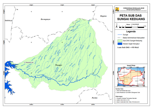
The Gajah Mungkur Reservoir is a strategic infrastructure that plays a vital role in flood control and the irrigation water supply in Wonogiri and the surrounding areas. However, the reservoir’s storage capacity continues to decline due to sedimentation from the surrounding watershed. It experiences an annual increase in sedimentation of approximately 3.2 million m³, with the Keduang Sub-watershed being the main contributor at 40%, or equivalent to 1.2 million m³ per year. This study uses the Soil and Water Assessment Tool (SWAT) to provide a comprehensive overview of sedimentation and hydrological processes in the Keduang Sub-watershed that affect sedimentation during the 2022–2024 period. Data used in this study include Sentinel-2A satellite imagery, Digital Elevation Model (DEM), soil type maps, climate data, and river discharge data. These data are processed using QGIS 3.16 with the QSWAT3 plugin. Simulation results indicate that the SWAT model accurately represents hydrological and sedimentation dynamics, achieving the highest accuracy in 2024 with a coefficient of determination (R²) of 0.956 and a Nash-Sutcliffe Efficiency (NSE) of 0.888. During the study period, the sedimentation rate significantly increased, reaching a peak sediment yield of 119,543.18 tons per hectare in 2023 and a maximum sediment accumulation of 86,030 tons at the outlet in 2024. The increase in sedimentation was triggered by landcover conversion for residential areas and reduced forest cover, which led to increased surface runoff and decreased infiltration.
Downloads
Published
How to Cite
Issue
Section
License
Copyright (c) 2025 Jurnal Penelitian Pengelolaan Daerah Aliran Sungai (Journal of Watershed Management Research)

This work is licensed under a Creative Commons Attribution-NonCommercial-ShareAlike 4.0 International License.

